About This Project
In the 1990s, the Colorado River Indian Tribes (CRIT) Natural Resources Department outlined a comprehensive land management plan that called for the creation of nature parks and recreational/community facilities and programs, restoration of sustainable native aquatic and terrestrial ecosystems, and development of a viable and sustainable economic program for the tribes.
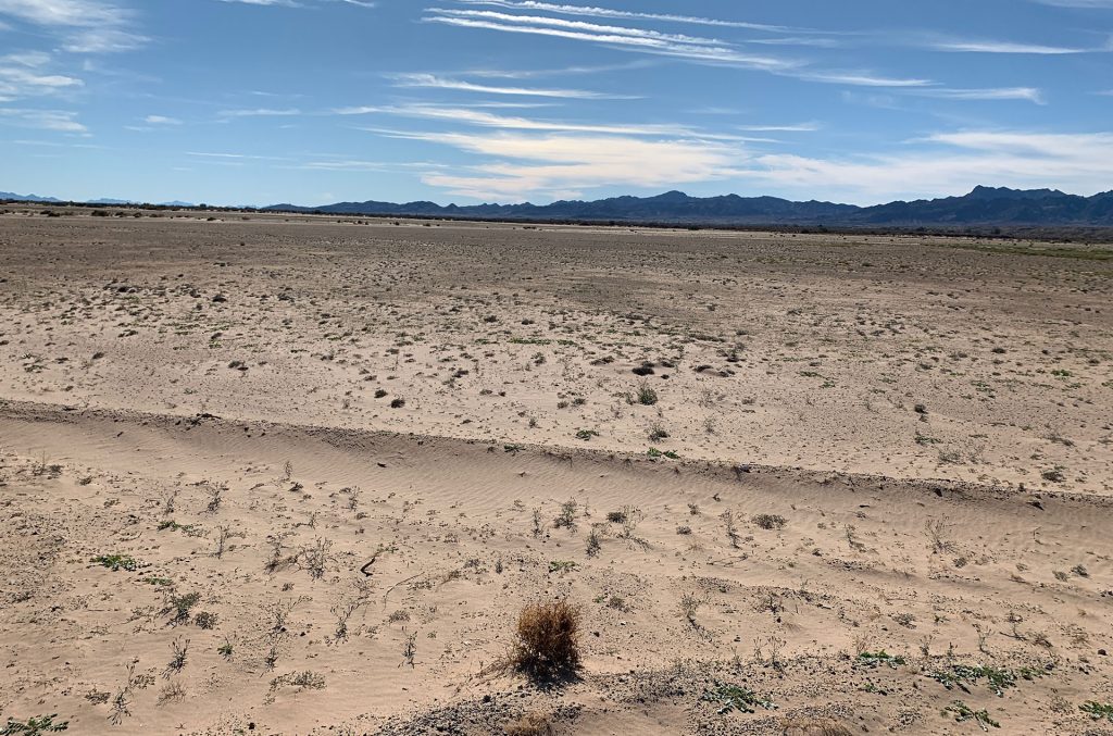
In September 2019, CRIT retained Fred Phillips Consulting to fulfill these objectives for the western border of CRIT territory. The CRIT expressed a desire to move away from the linear, intensive agricultural legacy in the eastern parts of the territory.
Project Slide Show

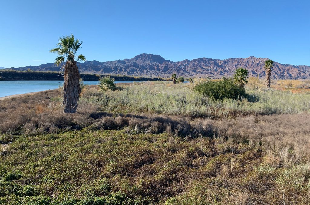
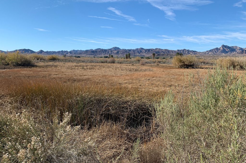
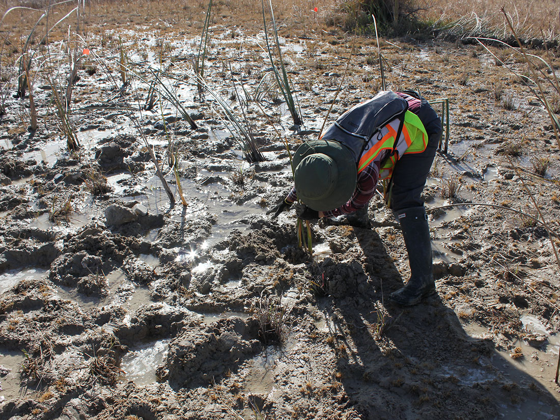
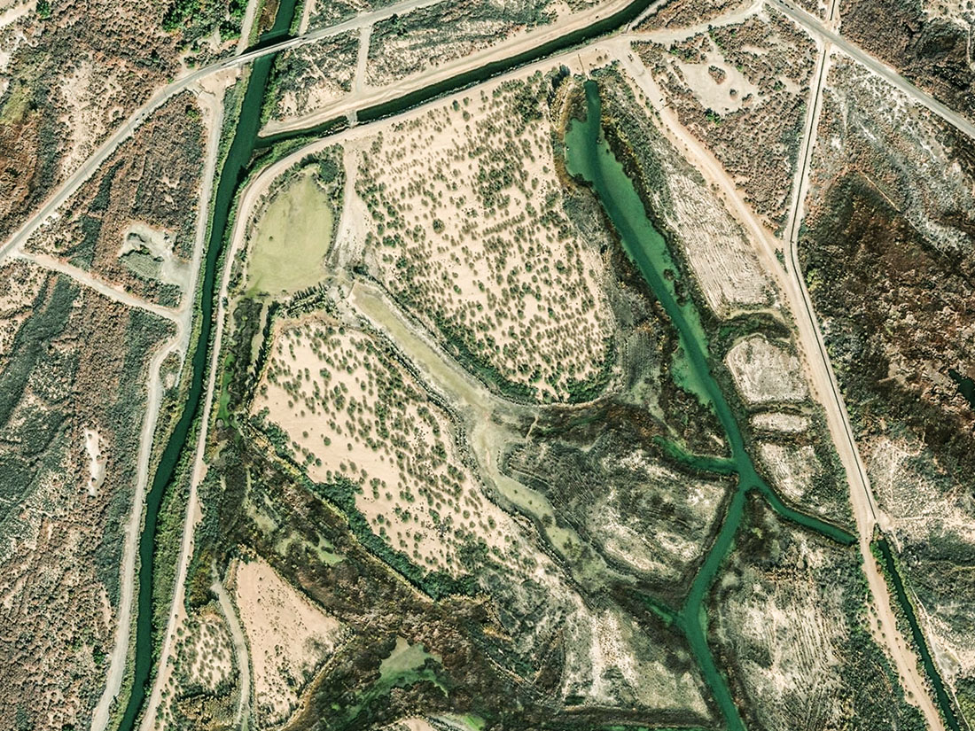
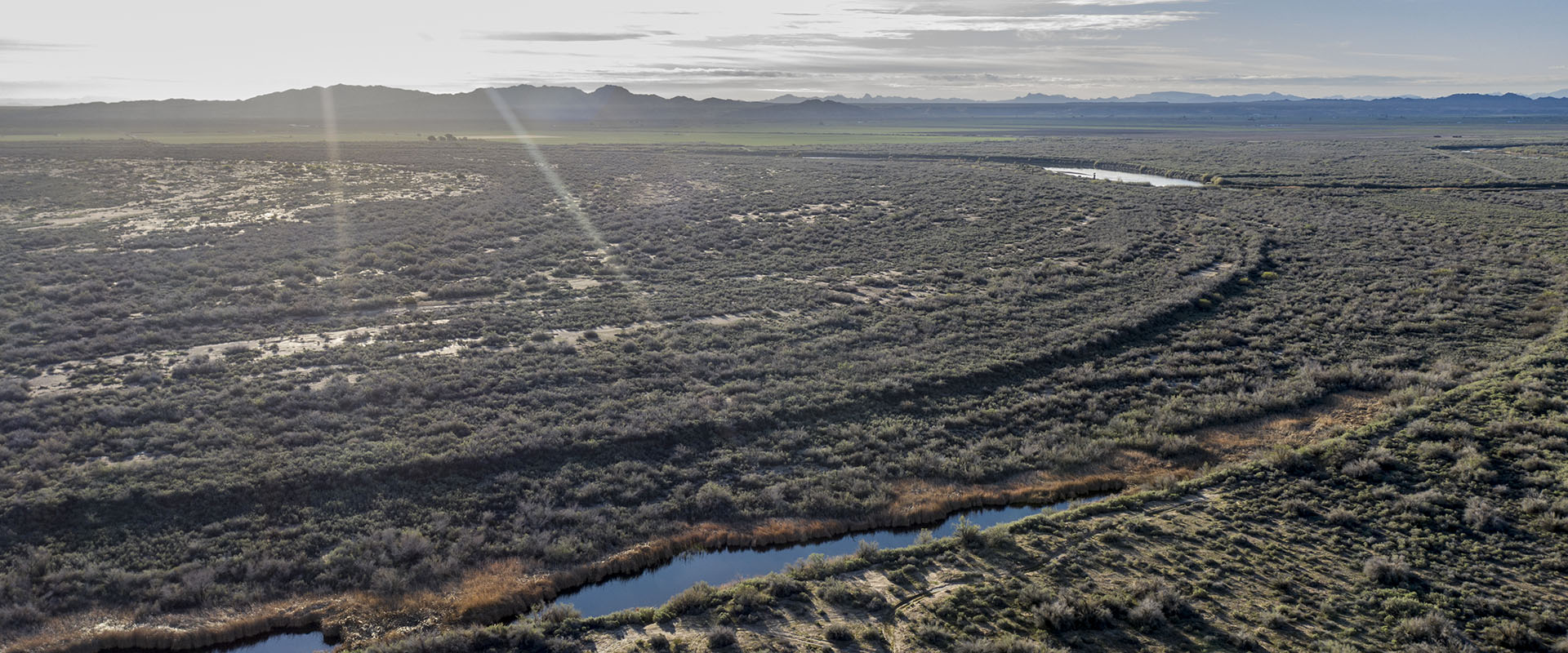
Fred Phillips Consulting and CRIT collaborated to develop a comprehensive plan that protects and restores the regions wetlands, mesquite bosques, and cottonwood forests while also accommodating over 3000 acres of hemp, potato, nuts, and specialty crop farming using no-till conservation agricultural principles. Native pollinator habitat gardens will inhabit the spaces between crops, simultaneously boosting ecosystem diversity and crop yield. To bolster CRIT’s economic sustainability, the master plan establishes a quarter-mile commercial easement and a 40+ mile riverfront greenway trail along the Colorado River. Our firm is honored to support CRIT in its mission to create jobs, and protect land and water rights through sound land planning design.
Client
Colorado River Indian Tribes (CRIT)
Location / Date
CRIT Territory, western reaches / September 2019 to April 2020
Collaborators
Cornerstone Environmental Consulting